The village

Lapta

Ancient Lapithos was a Spartan city-kingdom, then a Roman harbour, then a village of water, silk and lemons on the slope of the Kyrenia mountains. This is a guide to walking through it — and every stop begins at our gate.

Before you set off

Lapta at a glance

A working Cypriot village of under eight thousand people, sitting on a spring line between a mountain and the sea, with an unusual amount of history under it.

Settled on this hillside for3,000years
Population at the 2011 census7,839people
Churches, mosques and monasteries18buildings
West of Kyrenia14km

From our gate

WhereDistance
St Luke's churchAcross the lane
The village centre and the coffee houses10 min on foot
The Lapta coastal walkway2 km
Lambousa fish tanks & Acheiropoietos4 km
Kyrenia (Girne) harbour15 km
St Hilarion Castle20 km
Bellapais Abbey22 km
Nicosia (Lefkoşa) walled city40 km
Ercan Airport55 km

Approximate road distances, rounded. Ask us before you drive — on this coast the pretty way round is often barely longer than the fast one.

Lapithos · Lambousa · Lapta

Three names for one hillside

The village has had three names and all three are still in use. Lapithos is the Greek one and the oldest still spoken: Strabo records the city as a Spartan colony founded by a man called Praxandros after the Trojan War, though pottery and potters' wheels put people on this hillside two thousand years before that. Lambousa — the shining one — is what Rome called the harbour city on the headland three kilometres north. Lapta is the name it carries today.

The three names also mark three positions. The Bronze Age settlement and the classical city stood down by the water. When Arab raids emptied the coast in the seventh century, the people carried what they could inland and uphill, to the line where springs come out of the Kyrenia mountains, and they never moved back. A decision taken thirteen centuries ago is why Lapta stands exactly where it does — and why it has water when much of this coast does not.

What the water paid for is still standing. It ran down cut channels between the gardens, turned the mills and fed terraces of mulberry, lemon and olive. Mulberry leaves fed silkworms, and silk paid for stone: the houses, the church towers and the cloister walls of this monastery were all bought with it.

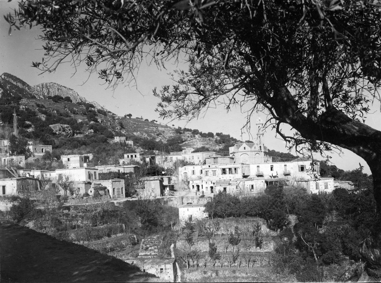
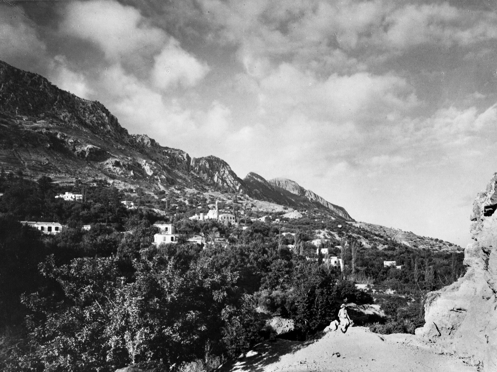
Lapithos on its terraced hillside in the late 1920s: stone houses stepping down the slope beneath a church bell tower, framed by an olive tree, with the Kyrenia mountains behind.
Lapithos from the olive terraces, photographed by the Swedish Cyprus Expedition, 1927–31.
Three thousand years

A timeline you can walk through

Fourteen moments, from the first potters to the municipality of today. Pick one.

c. 3000 BC

Someone was already here

Pottery and potters' wheels found at Alonia ton Plakon, and at a second site to the east, put people on this hillside in the Early Bronze Age — two thousand years before the city that took its name.

1 of 14
The walk

Seven stops, starting at our gate

This is the order we would walk it. The first five are on foot; the last two need a car for about twenty minutes. Tick them off as you go — the page remembers where you got to.

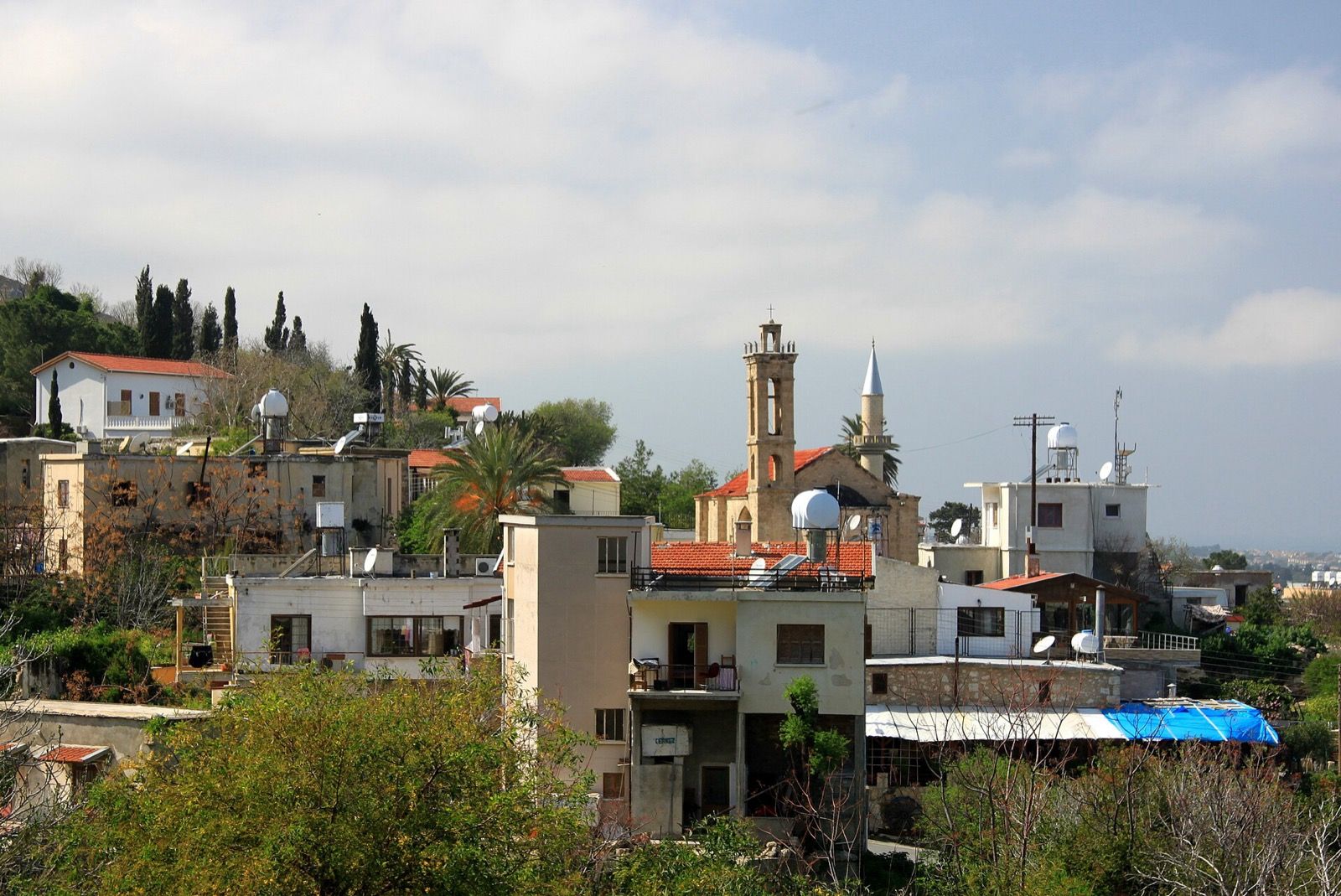
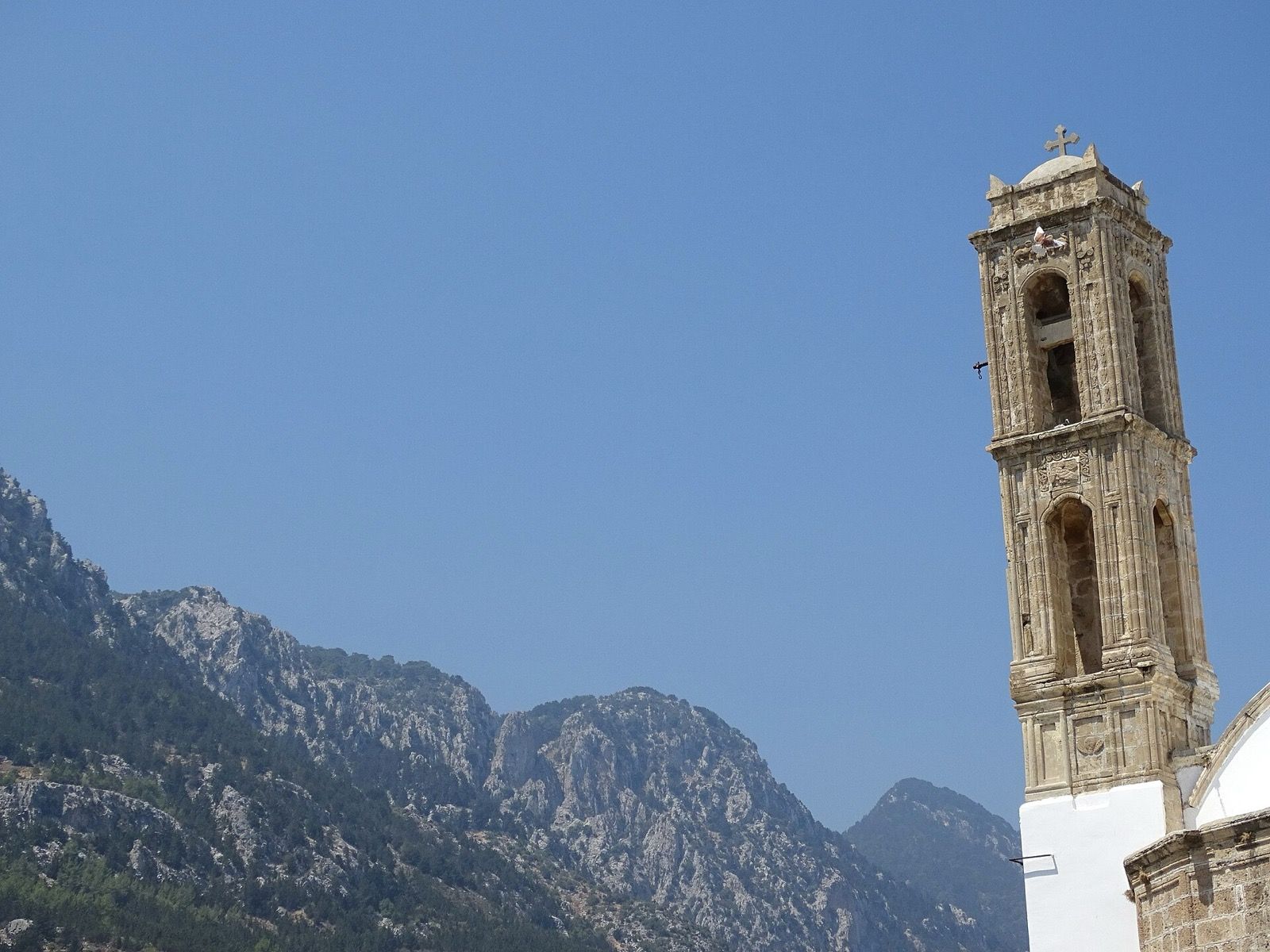
A carved stone bell tower rising beside a whitewashed church in Lapta, with the limestone ridge of the Kyrenia mountains behind it.
On foot · Across the lane1850

St Luke's — Ayios Loukas

Start where you are standing. The Old Monastery was built for the monks who looked after this church, and the parish took its name: Ayios Loukas was one of the six old parishes of Lapithos. The church as you see it went up in 1850. The monastery beside it is older.
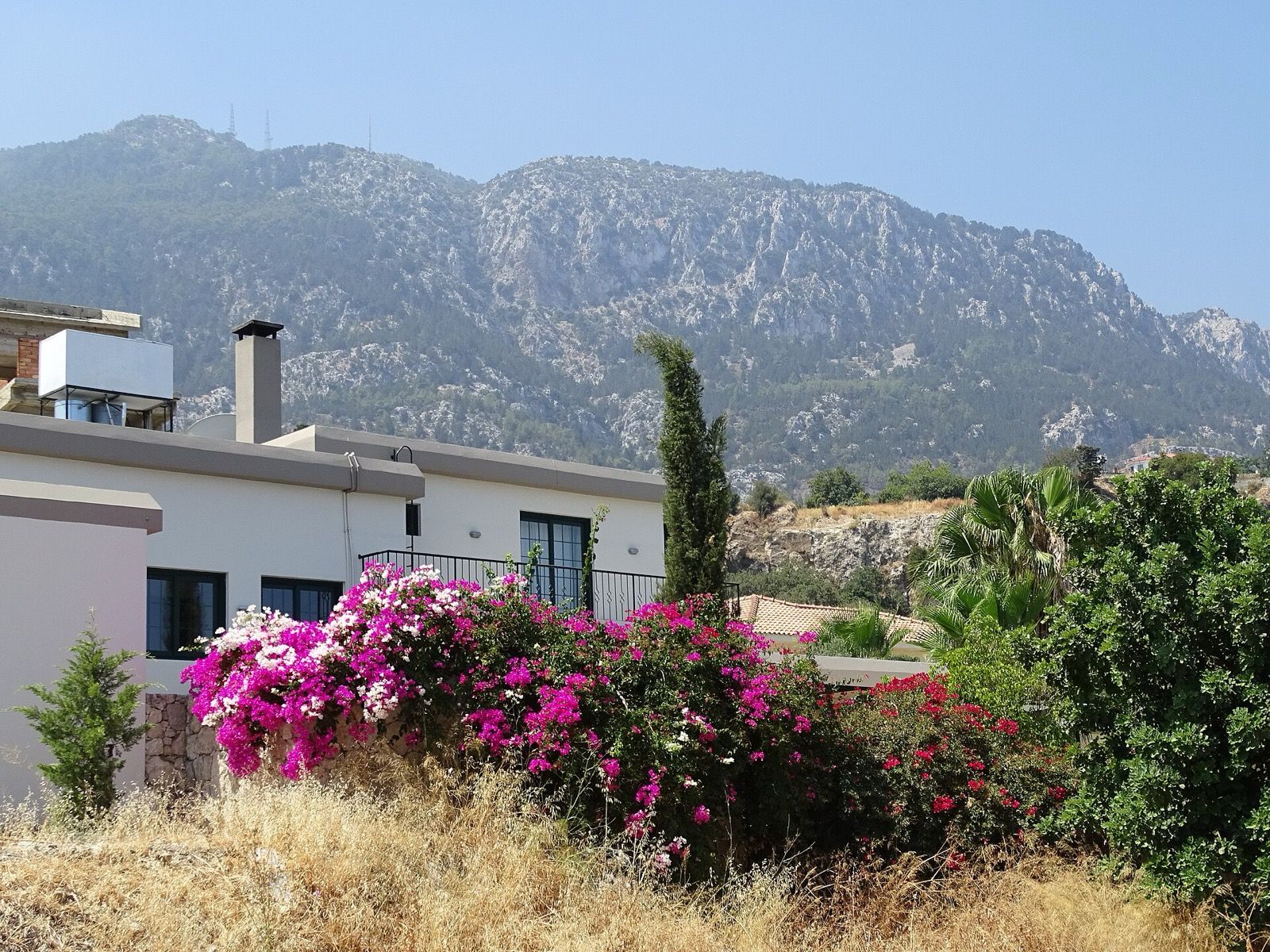
Bougainvillea spilling over a garden wall in Lapta, with the rocky Kyrenia mountains rising directly behind the village.
On foot · 10 min uphill1828

Upper Lapta and the Mehmet Ağa mosque

Climb. The lanes narrow, the houses get older, and the water channels start running along beside your feet. The Esseyid Elhaç Mehmet Ağa mosque was built in 1828, rebuilt between 1887 and 1889, and given its concrete minaret in 1976. From the terraces above it you can see the sea and the mountain in one turn of the head.

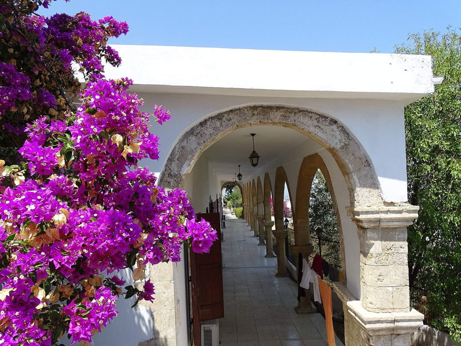
A whitewashed stone arcade in Lapta, bougainvillea over the arch and a row of columns running away into the shade.
On foot · 10 min1834

Ayios Theodoros

The oldest dated church in the village, and another of the six parishes. Two white pillars carved with Byzantine crosses stand in the yard, and part of the gallery is seventeenth-century — older than the building around it, which usually means an earlier church stood on the same ground.

Lapithos on its hillside in a photograph from the late 1920s, houses and gardens stepping down terraces beneath the mountain.
On foot · All through the village

The springs and the channels

Lapithos was known across Cyprus for its water. It leaves the mountain here, runs down cut channels between the gardens, and once turned the mills and fed terraces of mulberry, lemon and olive. Mulberry leaves fed silkworms; silk paid for the stone. Follow a channel downhill and you are following the whole economy of the old village.

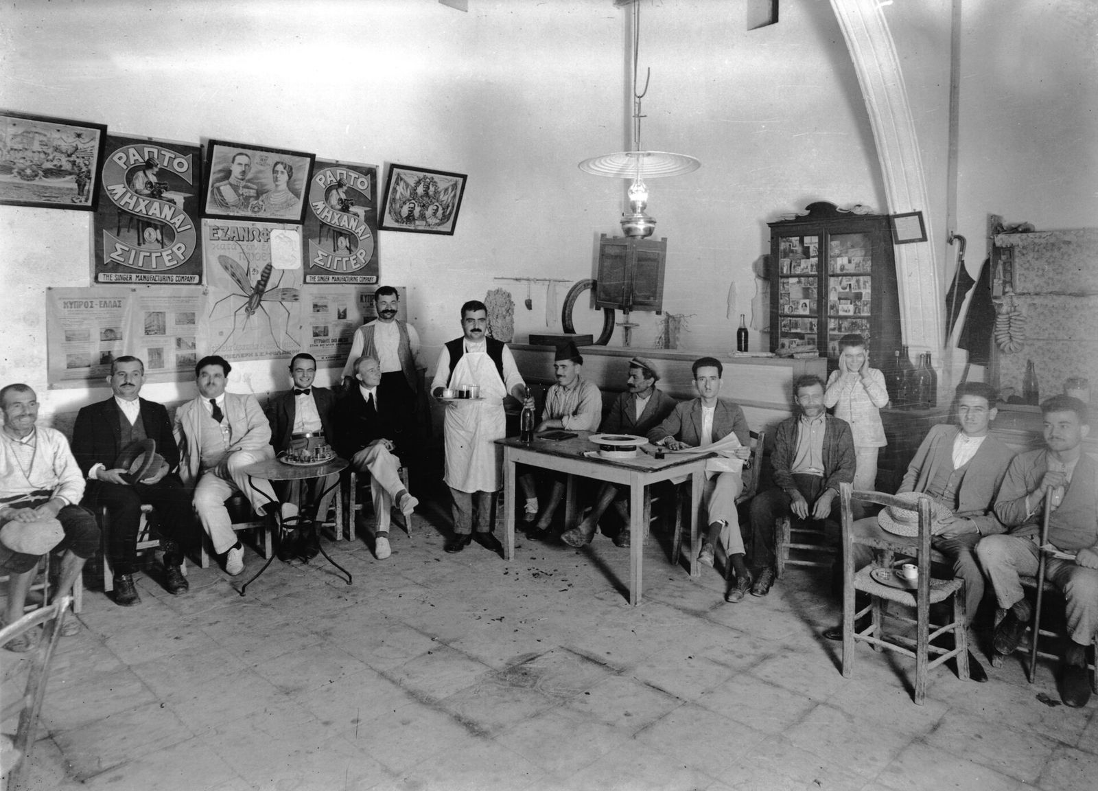
Christoforos' coffee house in Lapithos in the late 1920s: twenty men seated around the tables, the waiter standing with a tray of coffee, Singer sewing-machine posters on the whitewashed wall.
On foot · 10 min

Lapta Kahveleri — the coffee houses

The old coffee houses are still the middle of the village: shade, backgammon, and coffee that arrives without being asked twice. This is also the stage. Every July the Lapta Tourism Festival sets up here for three days and the whole village turns out. The photograph is of Christoforos' kafenion here, taken by the Swedish Cyprus Expedition around 1930 — the chairs have changed, the habit has not.

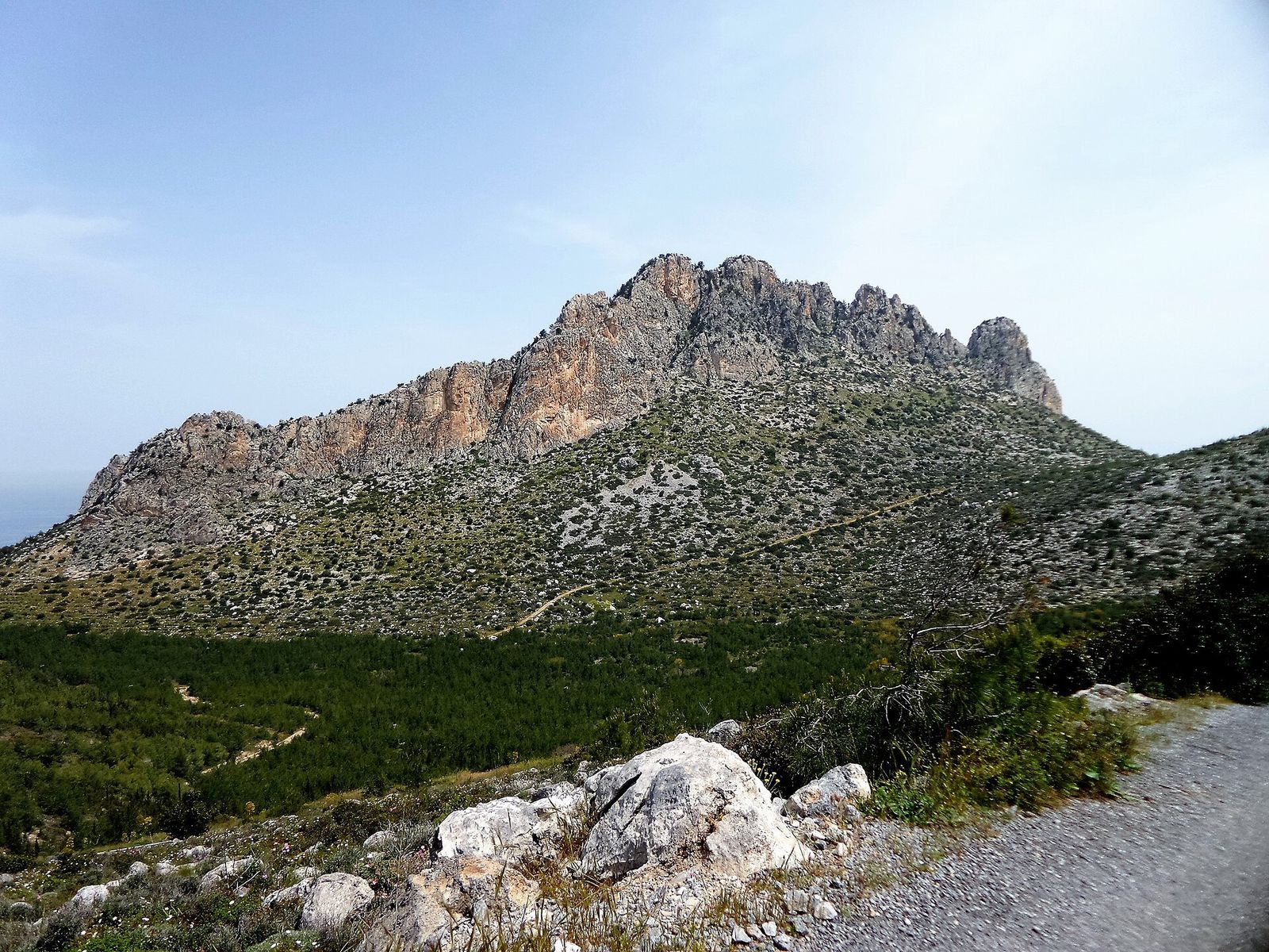
The jagged limestone peaks of the Pentadaktylos — the Kyrenia mountains — rising above pine forest, with the sea visible to the left.
Short drive · 2 km

The coastal walkway

A level path built along the water's edge, curling round rocks and coves and past a handful of cafés to Sarduya bay, where you can swim. Flat enough for anyone, and behind you the whole way is the wall of the Kyrenia mountains. Go an hour before sunset.

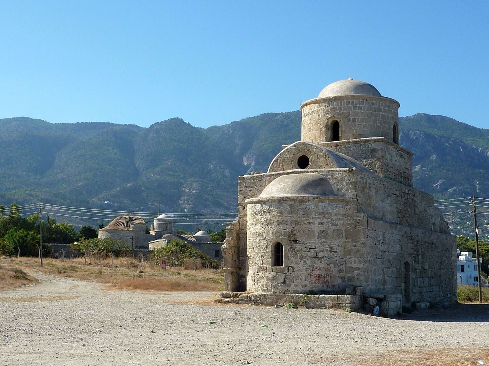
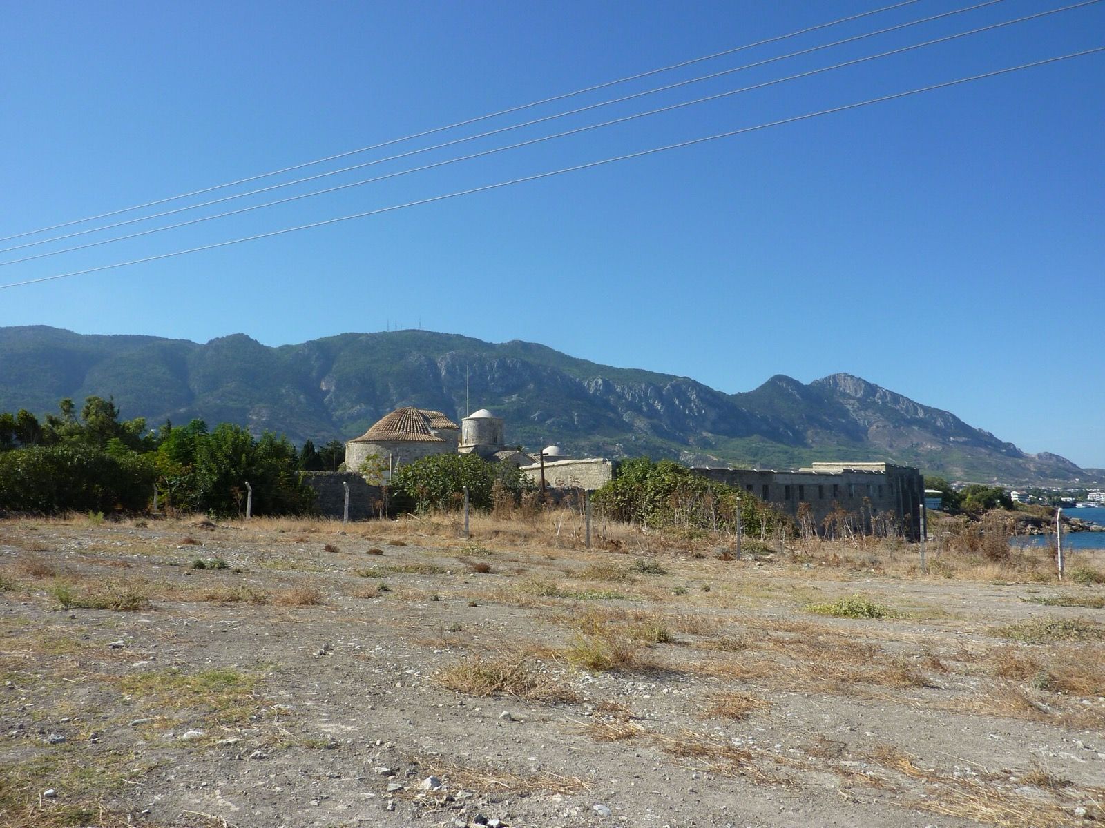
The domed stone church of St Evlalios on the Lambousa headland, the Acheiropoietos monastery behind it and the Kyrenia mountains beyond.
Short drive · 4 km11th c.

Lambousa: the fish tanks and Acheiropoietos

Three tanks cut straight into the rock at the shoreline and joined by channels — the largest is 27 metres by 14 — where Roman and Byzantine fishermen kept fish alive until market day. Behind them the cliff is honeycombed with rock tombs, and the old harbour wall still shows to the west. A few hundred metres inland stands the eleventh-century Acheiropoietos monastery, whose name means made without hands, with the chapel of St Evlalios beside it.

Lambousa

The city that turned into a treasure

Lambousa was rich for six hundred years and then it was over. The harbour city on the headland was emptied by Arab raids in the seventh century and never rebuilt; what it could not carry inland, it buried.

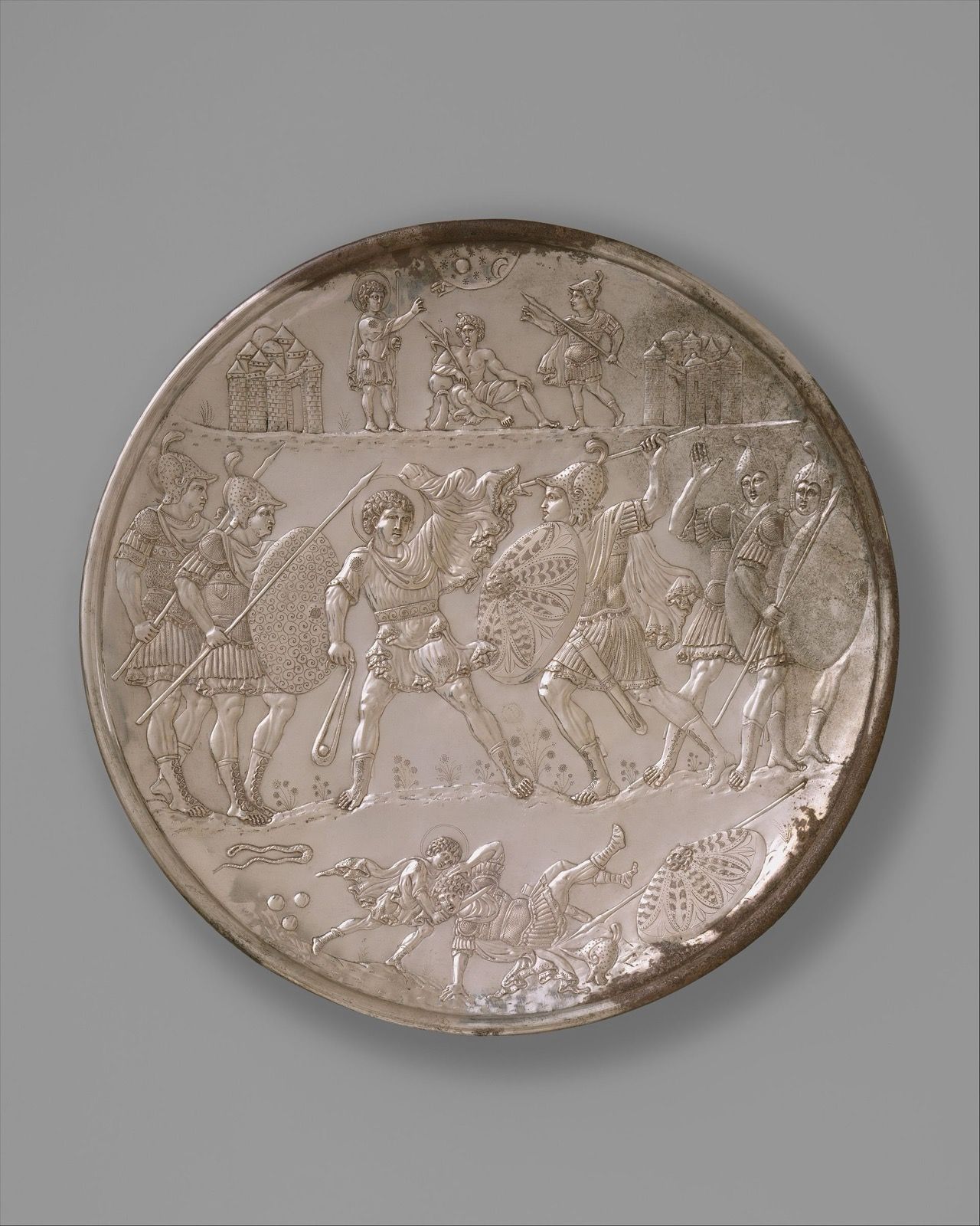
Two hoards of Byzantine silver came out of that ground — one in 1897 at Lambousa itself, one in 1902 at Karavas next door. The second included nine plates showing the life of King David, struck in Constantinople between 613 and 630 and among the finest secular silver to survive from the early Byzantine world. Within a few years of being found, almost all of it had left the island.

HoardFoundWhere the silver is now
First Cyprus Treasure — the Lambousa Treasure1897British Museum, London
Second Cyprus Treasure — the David Plates1902Metropolitan Museum of Art, New York · Cyprus Museum, Nicosia
A large Byzantine silver plate engraved in three registers with the battle of David and Goliath.
The Battle of David and Goliath, one of the nine David Plates. Struck in Constantinople c. 629–630, buried at Lambousa, found in 1902. Metropolitan Museum of Art, New York.
Fourteen churches, two mosques, two monasteries

The sacred layer

Eighteen religious buildings stand in a village of under eight thousand people — the accumulation of Byzantine, Lusignan, Ottoman and British centuries on one hillside. Eleven of them are documented well enough to date.

KindNote
Ayios EvlaliosEarly ChristianChurchesFoundations still visible, beside the Acheiropoietos monastery
Acheiropoietos monastery11th c.MonasteriesByzantine, on the Lambousa headland. The name means made without hands
Timios Prodromos17th c.ChurchesGothic; one of the six old parishes
Ayia Anastasia18th c.MonasteriesChurch and monastery together; one of the six old parishes
Esseyid Elhaç Mehmet Ağa mosque1828MosquesUpper Lapta. Rebuilt 1887–89, concrete minaret added 1976
Ayios Theodoros1834ChurchesByzantine cross pillars in the yard; 17th-century gallery
Ayios Minas1843ChurchesOne of the six old parishes
Ayios Loukas1850ChurchesAcross the lane from The Old Monastery
Haydar Paşazade Mehmet Bey mosque1870MosquesThe second of the village's two mosques
Ayia Paraskevi1892ChurchesOne of the six old parishes
Ayios EvlambiosNot recordedChurchesChapel near the monastery; no date on record

Dated from the record. Where a date is not recorded we have left it out rather than guess — and the seven remaining chapels are names that have outlasted their paperwork. Several of these buildings are not in use, and a few stand on land you cannot walk into; ask us before you set off.

When to come

The village year

Northern Cyprus runs on a calendar of small festivals, most of them named after whatever is ripe. Pick a month and see what is on.

January

The quietest month and the greenest: the hills turn from brown to green within a fortnight of the first real rain. Cool enough to walk all day.

  • Nothing on the calendar — which is its own reason to come.
A single deep red Cyprus tulip open in a meadow of grass and white wildflowers.
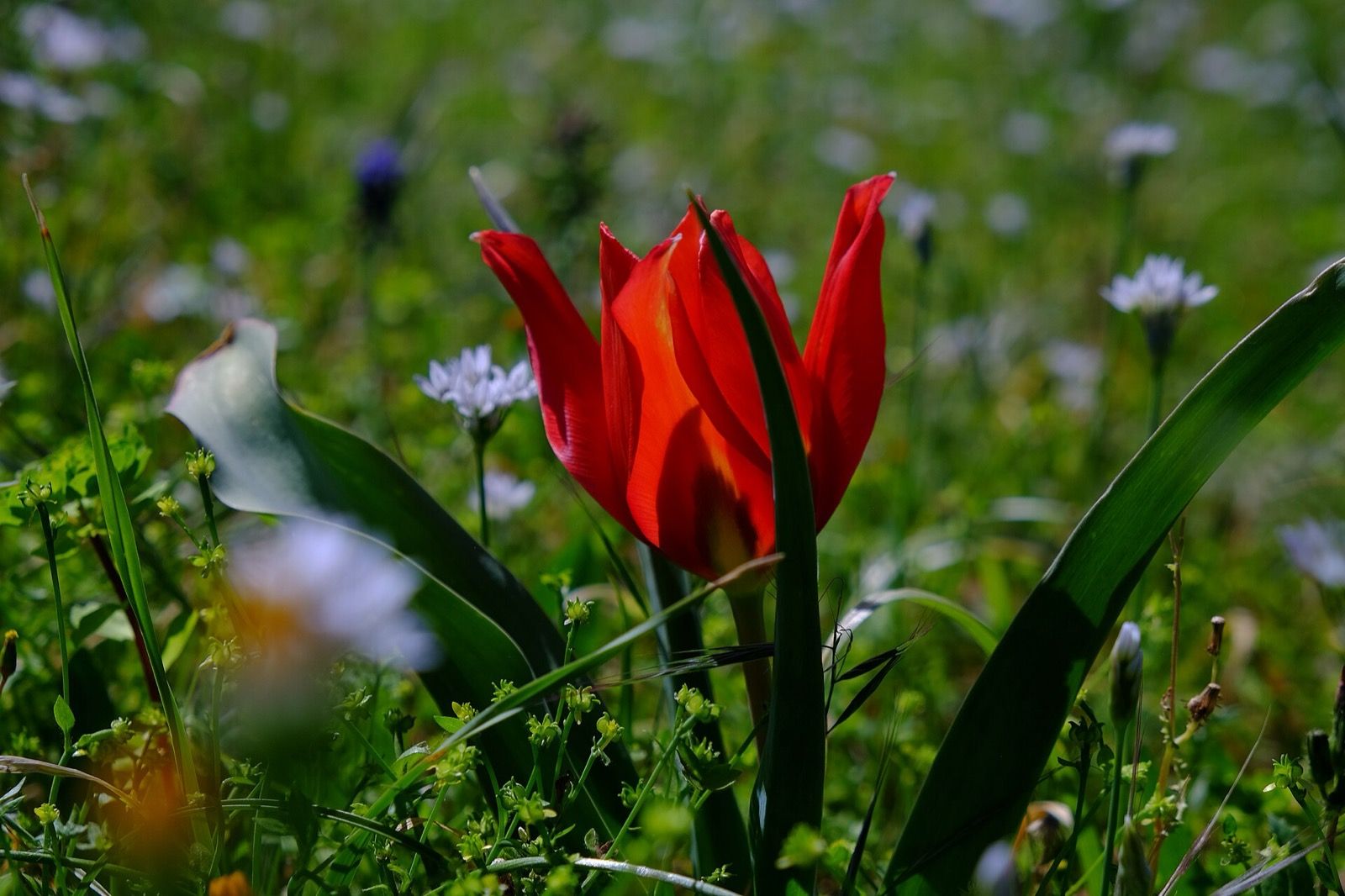
Tulipa cypria, the Cyprus tulip — known here as Medoş. It is endemic to the island and flowers for a few weeks in March, which is what the Tulip Festival is for.
Lapta now

The village today

Lapta had 7,839 residents at the 2011 census, roughly a thousand of them British and German and many of them here permanently. It is administered today as part of the Lapta–Alsancak–Çamlıbel municipality, and it is twinned with Büyükçekmece in Turkey (2007), Kemer on the Antalya coast (2012) and Karpoš in Skopje (2015).

It is a working village rather than a resort. There is a bakery, there are supermarkets and a post office, there are restaurants along the coast road and the old coffee houses up in the middle, and there is a bus. Everything on that list is within walking distance of our gate, which is the main reason people who come here once tend to come back.

The coast road will put you in Kyrenia in about twenty minutes. Diving, riding, hiking in the Pentadaktylos and boat trips can all be arranged from the village — ask us and we will make the call for you.

Stay in the middle of it

This whole guide starts at our gate

Eight self-catering holiday homes inside a 120-year-old monastery, in the middle of the village you have just read about. Pick your dates and we will reply personally.

WhatsApp us

Photographs

These photographs are of Lapta and Lambousa and are reproduced under the licences shown; they are not always of the exact building described beside them. Every photograph of The Old Monastery itself, throughout the rest of this site, is our own.